Topographic Surveys
The topographic survey consists of the representation – planimetric or altimetric – in letter or plan of the notable points as well as of the geographical accidents and other details of relief of a lot of land.
The acquisition of the necessary points for this representation is done from the station points of a polygonal, with a theodolite and a crosshair, with a total station and respective baton or more recently using GNSS techniques.
Related projects
Villa in Quinta do Lago
Realization of all Architectural and engineering projects for the effects of licensing and application in building.

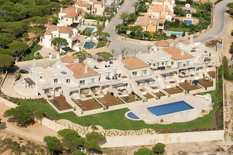
Quinta do Mar Luxury Development
One of the largest projects carried out by LP Leal. The development and construction of a luxury development - Quinta do Mar, consisting of 48 Lots, one for Hotel, two for apartments and the remaining for individual villas.
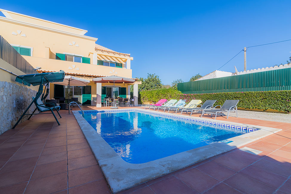
Villa in Almancil
Realization of all the projects of specialty for the effects of licensing and application in work. Topography, Architecture Project, Organization of the entire construction licensing process, Supervision and Coordination of Security and Construction of the villa.
Other services
Safety on site
Construction activities involve a number of risks and can result in accidents when the necessary safety measures are not taken. Falling at heights, crushing, and soiling are the main accidents at work.

Architecture
Topographical surveys. Elaboration of architectural projects for all types of buildings, whether for housing, commerce or industry, for licensing and / or application on site. Modification and extension of existing projects, modeling and projection of 3D buildings.

Energy certification
Implementation of energy certification in new and existing buildings.b The Energy Certificate is a document required by law in the purchase / sale, lease or rental of real estate in Portugal.