Topographic Surveys
The topographic survey consists of the representation – planimetric or altimetric – in letter or plan of the notable points as well as of the geographical accidents and other details of relief of a lot of land.
The acquisition of the necessary points for this representation is done from the station points of a polygonal, with a theodolite and a crosshair, with a total station and respective baton or more recently using GNSS techniques.
Related projects
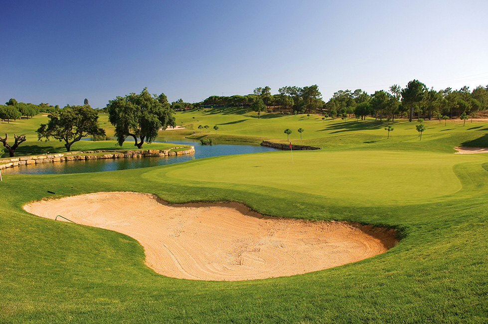
Golf Course in Pinheiros Altos
Organization of the entire licensing process, Environmental Impact Study, and all projects for the building permit. Follow-up of the project
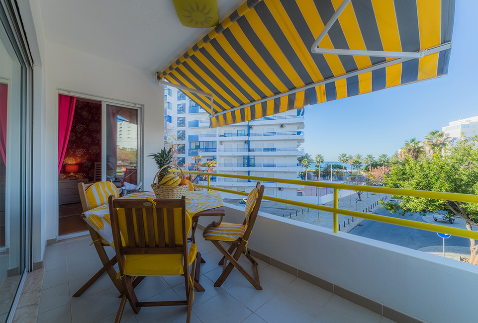
Apartment in Quarteira
Architecture project, Organization of the entire process of remodeling licensing, Supervision and Coordination of Security and Complete remodeling of the apartment.
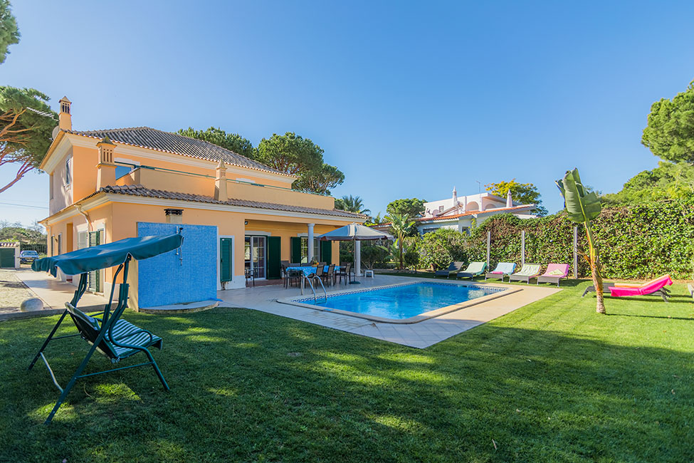
Villa in Vale Verde
Realization of all the projects of specialty for the effects of licensing and application in work. Topography, Architecture Project, Organization of the entire construction licensing process, Supervision and Coordination of Security and Construction of the villa.
Other services
Energy certification
Implementation of energy certification in new and existing buildings.b The Energy Certificate is a document required by law in the purchase / sale, lease or rental of real estate in Portugal.

Safety on site
Construction activities involve a number of risks and can result in accidents when the necessary safety measures are not taken. Falling at heights, crushing, and soiling are the main accidents at work.

Project management
Project follow-up on every stage of your project, from the concept stage, suggesting the best technical and functional solutions. Following to the project in the licensing stage, in particular, of the licensing authorities.